Public land · Kentucky
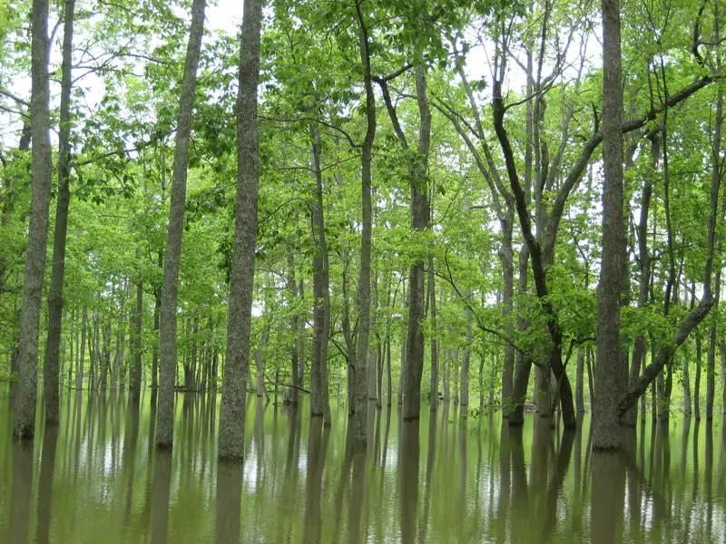
Flooded bottomland hardwood forest. Photo: USFWSLand Between The Lakes National Recreation Area
National recreation area · USDA Forest Service
- State
- Kentucky
- Type
- National recreation area
- Managed by
- USDA Forest Service
- Size
- 107,594 acres (KDFWR listing)
- Official page
- Agency page
Federal land between Kentucky Lake and Lake Barkley. Waterfowl hunting needs the LBL hunter use permit, and some bays are closed.
Waterfowl rules
- An LBL Hunter Use Permit ($25) is required. It does not cover backcountry camping.Source: KDFWR public lands: Land Between The Lakes · Last checked Oct 22, 2026
- Long Creek Pond, the eastern third of Smith Bay and the eastern two-thirds of Duncan Bay on Kentucky Lake are closed to all activity Nov 1–Mar 15. The Environmental Education Center and Energy Lake are closed to waterfowl hunting.Source: KDFWR Migratory Bird and Waterfowl Hunting Guide 2026–27 (PDF) · Last checked Oct 22, 2026
- No permanent blinds on inland areas or the Kentucky Lake shoreline; decoys and blinds come out each day. No waterfowl hunting inland during quota gun deer hunts.Source: KDFWR Migratory Bird and Waterfowl Hunting Guide 2026–27 (PDF) · Last checked Oct 22, 2026
Access and ramps
- Location: Trigg and Lyon counties, between Kentucky Lake and Lake Barkley. Entrance GPS coordinates listed by KDFWR: 36.8868, -88.0875. Area phone: (270) 924-2065.Source: KDFWR public lands: Land Between The Lakes National Recreation Area · Last checked Oct 22, 2026
- Access by KY 453 (The Trace) and KY 80. Season details and permits: Land Between The Lakes, 100 Van Morgan Dr., Golden Pond, KY, (270) 924-2065.Source: KDFWR public lands: Land Between The Lakes · Last checked Oct 22, 2026
Not confirmed yet
- LBL's own waterfowl rules page (landbetweenthelakes.us) was not checked for this listing.
See something wrong or out of date? Report a correction.
Before you go
Check the rules and the water
Confirm this season’s rules on our state law pages or the agency’s own site, check draw and permit deadlines, and look at today’s river levels on the migration map. Areas can close or flood on short notice.